Picture this. You're listing a waterfront home near Jacksonville, planning a new subdivision outside Tallahassee, or hosting a festival in St. Augustine. In every one of these cases, a single image taken from 200 feet in the air can change how buyers, investors, or guests see your project. That's the power of aerial work. But not every drone pilot delivers the same quality, safety, or professionalism.
If you're researching drone services in North Florida, this guide will walk you through which projects benefit most, what rules every legal operator must follow, and how to choose a team you can trust. At Precision Aerial Services, we've seen firsthand what separates great aerial work from a risky, forgettable flight, and we've put everything you need to know right here.
Why Professional Drone Services Matter
A drone is no longer a hobby gadget. In the hands of a trained operator, it becomes a commercial aerial tool that saves time, cuts costs, and captures angles that once required a helicopter or a crane.
The region is a natural fit for this technology. Coastline, rivers, marshland, pine forest, historic towns, and fast-growing suburbs all sit within a few hours of each other, and each one is hard to show or measure from the ground. A skilled pilot can reveal a property's true size, a site's real progress, or an event's real energy within minutes.
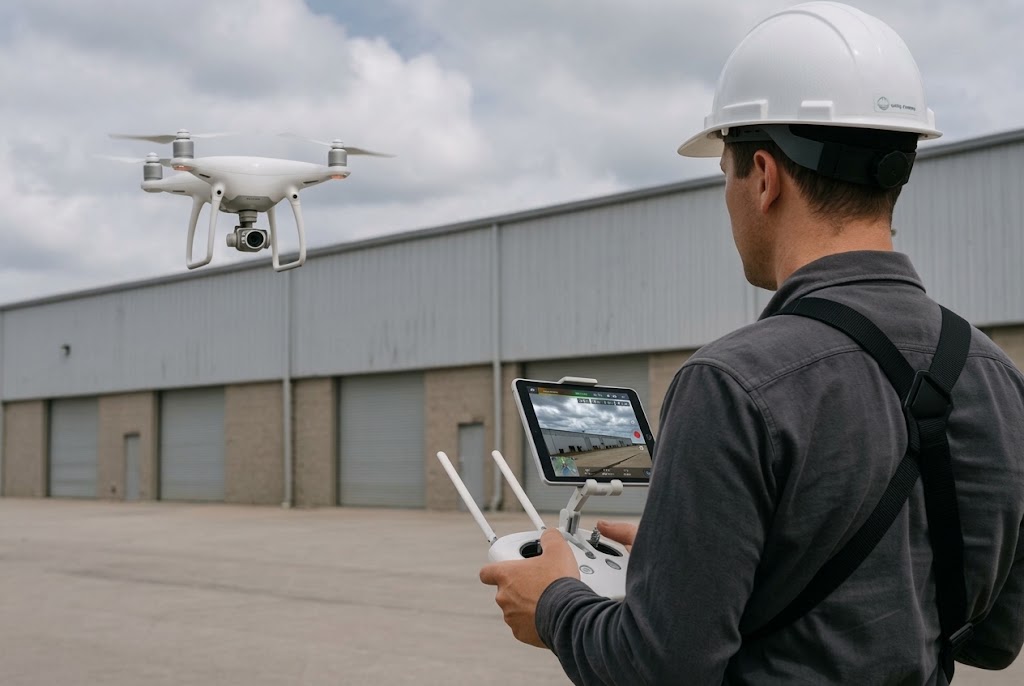
The difference between a casual flyer and a professional comes down to three things: training, equipment, and accountability. A professional operator is licensed, insured, and consistent. A hobbyist can't promise any of that.
Real Estate: Help Your Listing Win the Click
In real estate, the first impression happens online. Buyers scroll through dozens of listings in a few minutes, and the ones with striking visuals get the click.
Real estate drone photography Florida shows what ground-level photos simply can't:
- The full lot size and property boundaries
- Distance to water, parks, schools, and main roads
- Roof condition and overall exterior quality
- Pools, docks, and outdoor living areas
- The neighborhood and surrounding views
This matters a great deal in a region where waterfront, acreage, and golf-course homes are major selling points. A strong aerial shot helps buyers feel the location instead of just seeing the house. Agents and homeowners who add aerial visuals often see more listing views, longer time on page, and more showing requests.
Construction and Land Development: See the Whole Site
Construction is one of the most valuable uses of drone technology. Large sites are difficult to monitor on foot, and delays or mistakes get expensive fast.
Drone site monitoring gives developers, contractors, and investors a clear and regular picture of progress. Common uses include:
- Progress documentation: Dated aerial photos and video that show exactly how the project is moving.
- 2D and 3D mapping: Accurate topographic data and detailed site surveys that support planning, grading, and drainage decisions.
- Stakeholder updates: Easy-to-follow visuals for investors, lenders, and clients who can't visit the site.
- Inspection support: A close look at roofs, tall structures, and hard-to-reach areas without putting a person at risk.
- Before-and-after records: Helpful if there's ever a dispute about site conditions.
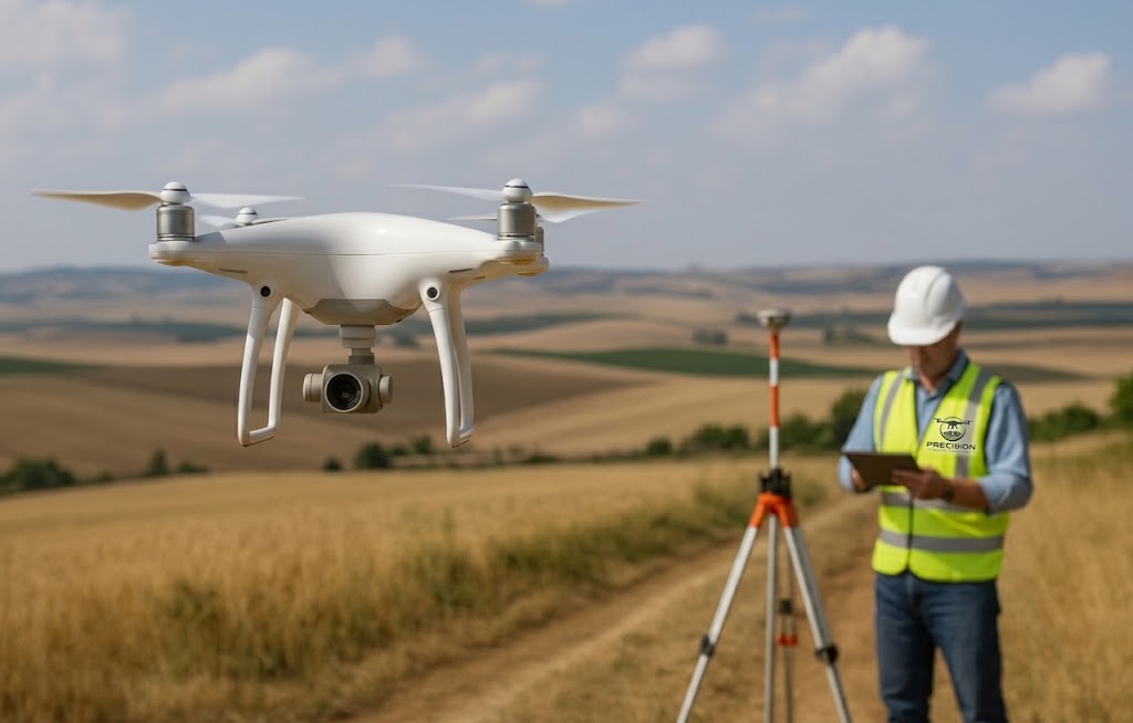
With so much open land and steady growth across the region, regular aerial updates keep everyone informed and help catch small issues before they become big ones.
Events: Capture the Full Scale
Weddings, festivals, sports tournaments, corporate gatherings, and community celebrations all share one challenge. The true scale of the event is almost impossible to capture from the ground.
Event drone coverage adds a cinematic layer. Think sweeping shots of a crowd, a venue at golden hour, or a wedding ceremony on the water. These visuals are perfect for highlight reels, social media, sponsor reports, and marketing next year's event.
Flying at events also takes extra care. Crowds, venue rules, and changing weather all affect what's allowed and what's safe. A professional pilot plans flight paths in advance, confirms permissions, and keeps safe distances from people.
Aerial Photography and Video: More Than a Pretty Picture
Beyond real estate and construction, aerial photography and videography support tourism, hospitality, agriculture, local businesses, and brand storytelling. There are even specialized uses, such as thermal drone deer recovery, which helps hunters locate wounded game quickly and ethically.
A strong aerial project usually includes:
- High-resolution stills for print, web, and advertising
- Smooth cinematic video with stable, professional movement
- Careful editing and color correction for a polished final result
- Fast turnaround so you can publish while the content is still fresh
What separates excellent work from average work is planning. A skilled pilot scouts the location, checks the sun angle, studies the wind, and designs each shot before the drone ever leaves the ground. That's why portfolios matter so much, and we'll cover that in the checklist below.
Safety and FAA Compliance: The Non-Negotiables
This is the part many clients overlook, and it's the part that can cause the most trouble.
In the United States, anyone flying a drone for business must follow rules set by the Federal Aviation Administration. Here's what to look for:
- FAA Part 107 certification: Commercial pilots must hold a Remote Pilot Certificate. If a pilot can't show one, walk away.
- Airspace authorization: Areas near airports, military bases, and busy flight corridors are controlled. This region has several, so a pilot must know how to check airspace and request authorization when needed.
- Aircraft registration: Commercial drones must be registered and properly marked.
- Liability insurance: If something goes wrong, insurance protects you, your property, and the public.
- Flight rules: Keeping the drone within visual line of sight, staying under altitude limits, and avoiding flights over people without proper allowance are all standard requirements.
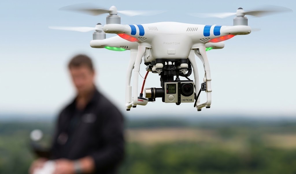
Cutting corners here puts you at risk, not just the pilot. Fines, grounded projects, damaged property, and legal trouble can all follow an unlicensed or uninsured flight. A truly professional operator treats compliance as routine, never as an afterthought.
How to Choose a Professional Drone Operator
Now that you know where aerial work helps and which rules apply, here's a practical checklist for choosing the right provider.
1. Verify Credentials First
Ask for their FAA Part 107 drone pilot Florida Georgia certificate and proof of insurance. A reputable pilot will share both without hesitation.
2. Review Their Portfolio
Look for work that matches your project. A pilot who is great at wedding footage may not be the best fit for construction progress reports. Check for sharp images, steady video, good composition, and consistent quality.
3. Check Their Equipment
Modern, well-maintained drones with high-quality cameras make a visible difference. Ask whether they carry backup equipment in case of a technical issue.
4. Look for Local Experience
A pilot who knows the area understands local airspace, coastal winds, sudden afternoon storms, and the terrain. Local knowledge saves time and prevents surprises.
Based in Douglas, GA, our team provides drone services in North Florida and across Georgia, so we're familiar with the conditions you'll face on the ground and in the air.
5. Ask About the Process
Good providers explain how the project works, from planning and flight to editing and delivery. Ask about turnaround time, file formats, and revisions so there are no surprises later.
6. Compare Value, Not Just Price
The cheapest quote often leaves out insurance, editing, or compliance. Look at what's included and the quality you're getting, because a low price isn't a bargain if the footage is unusable.
7. Read Reviews and Ask for References
Past clients tell the real story. Look for comments about reliability, communication, and results.
8. Trust the Communication
Notice how quickly and clearly they respond. A team that answers your questions well before the job is likely to handle the job the same way.
Questions to Ask Before You Hire
Before you sign anything, ask:
- Are you FAA Part 107 certified and fully insured?
- Have you completed projects similar to mine?
- How do you handle airspace restrictions in my area?
- What's your plan if weather delays the flight?
- What exactly will I receive, and when?
Clear, confident answers are a strong sign that you're speaking with a true professional.
Conclusion
Aerial content can lift a real estate listing, keep a construction project on schedule, make an event unforgettable, and give your brand visuals that stand out. But the benefits only come when the work is done safely, legally, and skillfully.
When you're comparing drone services in North Florida, focus on what really matters: proper FAA certification, solid insurance, a relevant portfolio, local knowledge, and clear communication. Match the provider to your project, whether it's a home sale, a development site, or a large event, and you'll get results worth far more than the cost.
If you'd like to talk through your project with a team that takes safety and quality seriously, Precision Aerial Services is ready to help. Tell us about your project, and we'll get back to you within 24 hours. Get a quote today, and let's capture your project from the perspective it deserves.
FAQs
1 What areas do you serve for drone services in North Florida?
We serve clients across North Florida and Georgia, including coastal communities, growing suburbs, and construction sites. Contact us with your location to confirm availability.
2 Do you need a license to fly drones commercially in North Florida?
Yes. Commercial drone operators must hold FAA Part 107 certification. Always confirm this before hiring a provider.
3 How much do drone services in North Florida cost?
Pricing depends on project scope, location, and deliverables. A single real estate shoot costs far less than multi-day construction monitoring. Request a quote for accurate pricing.
4 How long does it take to receive drone footage?
Turnaround varies by project complexity. Most edited deliverables are ready within a few business days, with rush options available for urgent projects.
5 Can drones be used for construction site monitoring?
Absolutely. Drones are widely used for progress tracking, site surveys, and stockpile measurement, and they often replace slower traditional methods.
Ready to See Your Project From a New Perspective?
Tell Precision Aerial Services about your project and get professional, safe, and reliable aerial services across North Florida and Georgia.
Get a Free Quote