Stand at the edge of a forty-acre parcel outside Valdosta, Tifton, or Douglas and try to photograph it. You'll capture a fence, a tree line, and a patch of grass. The pond, the road frontage, the drainage, and the neighboring land never make it into the frame.
Now lift that camera 200 feet into the air. Suddenly the whole property makes sense. That shift is why aerial photography in South Georgia has moved from nice extra to standard practice for agents, contractors, and business owners.
In this guide, we'll show you where aerial images create real value, what separates professional results from amateur ones, and how to choose the right pilot. At Precision Aerial Services, we shoot these projects every week, so we're sharing what we've learned from the field.
Why Ground-Level Photos Fall Short in South Georgia
This region is defined by open space. Farmland, timber, wetlands, small towns, and growing commercial corridors sit side by side. Many properties are large, irregular, or simply too hard to walk in one afternoon.
Aerial imagery closes that gap in a single visit. A ground-level camera can show a building or a field. It can't show how everything connects: road access, tree cover, water, buildings, and neighboring parcels.
Those connections are exactly what buyers, lenders, and investors want to understand before they spend money or time.
Selling Property? Show the Whole Story First
Most buyers begin their search on a phone, often from another city or state. They decide in seconds whether a listing deserves a closer look.
Property photography from above gives them the answers they're already wondering about:
- How big the lot really is, and where the boundaries run
- How close the home sits to roads, water, and neighbors
- Whether the barn, shop, or outbuildings are in good shape
- How much of the acreage is open, wooded, or usable
- What the roof and grounds look like overall
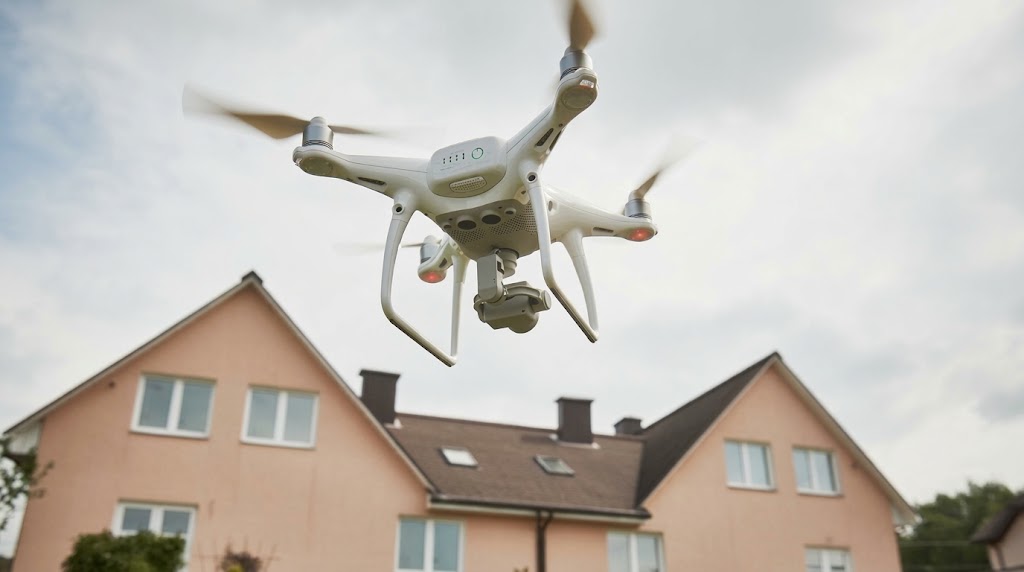
For rural homes, hunting land, and acreage, this is even more important. Nobody wants to drive an hour to find out the "wooded lot" backs onto a highway. Clear aerial visuals attract serious buyers and filter out the rest, which saves everyone time.
Land Development: Turn Raw Acreage Into a Pitch People Believe
Developers rarely get to "walk the whole site" before making decisions. Aerial photography gives them that view early, when changes are still cheap.
Here's where it helps most:
- Site evaluation: Study terrain, vegetation, access, and nearby infrastructure before you commit.
- Design and planning: Give engineers and architects a true picture, not a rough sketch.
- Investor and lender presentations: Replace "imagine this" with "look at this."
- Before-and-after records: Show how the land evolves as work progresses.
A flat site plan asks people to use their imagination. An aerial image with the right angle and light does the imagining for them.
Construction Progress Without the Guesswork
Construction moves fast, and the people paying for it often can't be on site. Owners, lenders, and partners still want proof that work is on time and on track.
Regular aerial flights over the same site create a clear visual timeline:
- What's finished, and what's next
- Whether the schedule matches the plan
- How crews, materials, and equipment are positioned
- How the site held up after a storm or heavy rain
Dated images also protect you. If a dispute about timing or site conditions ever comes up, you'll have a record that's hard to argue with. Many project managers drop these images straight into monthly reports because one picture often explains more than a page of notes.
Commercial Properties: Prove the Location Before the Tour
Commercial prospects care about different things than homebuyers. They're asking about visibility, traffic flow, parking, access, and the businesses next door.
An aerial shot answers those questions instantly. It works especially well for:
- Retail centers and shopping plazas
- Warehouses and distribution sites
- Farms, agribusiness facilities, and processing plants
- Hotels, restaurants, and hospitality properties
- Office parks and mixed-use developments
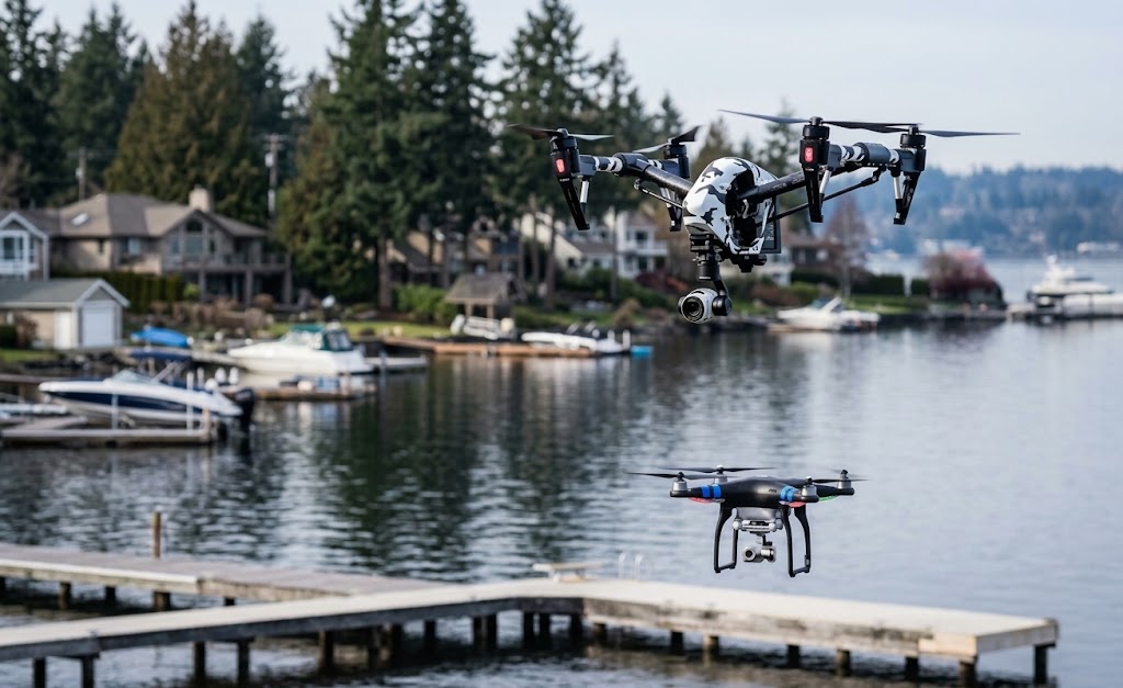
For brokers and owners, this means stronger listings and sharper conversations with serious prospects. The property does a lot of the talking before anyone steps on site.
One Flight, Weeks of Marketing Content
A single aerial session can feed your marketing for weeks. The same set of images can power:
- Your website and landing pages
- Social media posts and short video clips
- Brochures, signs, and printed materials
- Investor decks and sales presentations
- Email campaigns and local advertising
Aerial visuals also stand out in a crowded feed. Most local competitors still rely on ground-level photos, so a clean aerial image makes your business look established, modern, and trustworthy.
More attention usually means more engagement, more inquiries, and a stronger local reputation.
What High-Resolution Should Actually Mean
Anyone can claim high-resolution aerial photos. Here's how to tell whether you're actually getting them.
Detail That Survives Zooming and Printing
Sharp images hold up when enlarged for a sign, a brochure, or a full-screen website banner. You should be able to pick out fences, rooflines, driveways, and tree edges without blur.
Light and Timing
Early morning and late afternoon usually give soft, warm light that makes properties look inviting. Harsh midday sun flattens colors and creates heavy shadows.
A professional plans each flight around the sun, the weather, and the purpose of the photos.
Editing and Delivery
Good editing balances color, brightness, and contrast so the property looks natural and appealing, never fake. You should also receive files in formats that work for both web and print, delivered promptly.
Context Is the Real Product
Anyone can send a drone into the air. The value comes from knowing what to show and how to show it.
Property context is the story a location tells: how it sits near a highway, how it borders water, how much land surrounds it, and what's nearby.
A professional thinks about that story before the first flight, then builds a shot list around it:
- Wide shots that place the property in its full setting
- Medium shots that highlight key features like buildings, ponds, or entrances
- Detail shots that show condition and quality
- Consistent framing so progress and before-and-after comparisons line up
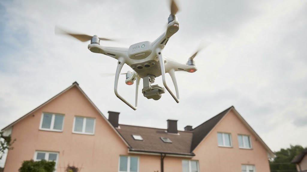
A casual flyer captures something pretty. A professional captures something useful, and that's what moves a sale, a project, or a business decision forward.
Five Things to Verify Before You Hire
Choosing a provider for aerial photography in South Georgia doesn't need to be complicated. Check these five things:
1. FAA Part 107 Certification
Every commercial drone pilot must hold a Remote Pilot Certificate. Ask to see it.
2. Liability Insurance
It protects you, your property, and the public if something goes wrong.
3. A Relevant Portfolio
Look for sharp images and projects similar to yours. A great wedding shooter may not be the best choice for land or construction work.
4. Local Knowledge
South Georgia has its own weather patterns, open terrain, and controlled airspace near airports and bases. Based in Douglas, GA, Precision Aerial Services understands the region and the conditions that come with it.
5. Clear Communication
A good provider explains the process, timeline, and deliverables before the job starts.
Conclusion
A great aerial image does more than look impressive. It gives buyers, investors, and partners the context to make confident decisions, and it gives your business marketing content that stands out from the crowd.
Whether you're selling a home on acreage, planning a development, tracking a build, or promoting a commercial property, aerial photography in South Georgia puts the full picture in front of the people who matter.
Choose a certified, insured, locally experienced pilot, and the results will keep paying off long after the flight is over.
Ready to see your property from a new angle? Precision Aerial Services is here to help. Tell us about your project, and we'll reply within 24 hours.
FAQs
1 What kinds of properties can be photographed from the air?
Almost any property benefits, including homes, farms, acreage, commercial buildings, development sites, and active construction projects. The goal is to show the property in its full setting.
2 How long does an aerial photo session take?
Most sessions run from 30 minutes to a couple of hours, depending on the property size and the number of shots needed. Large or multi-location projects can take longer.
3 Do drone pilots need a license?
Yes. Commercial pilots in the United States must hold an FAA Part 107 Remote Pilot Certificate. Always confirm certification and insurance before you hire.
4 Can I use aerial photos for listings and marketing?
Absolutely. High-resolution aerial photos work well on websites, social media, listings, brochures, and presentations. Ask your provider about file formats so the images work everywhere you need them.
5 How often should I schedule flights for a construction project?
Many projects do well with monthly or milestone-based flights, while fast-moving sites may prefer weekly updates. Consistent timing creates the clearest progress record.
Ready to See Your Property From a New Angle?
Tell Precision Aerial Services about your property or project and get professional aerial photography across South Georgia.
Get a Free Quote